Polygon
Last updated
Was this helpful?

Last updated
Was this helpful?
Polygon layer can display all geometry types defined by : Point, LineString, Polygon, MultiPoint, MultiLineString, MultiPolygon.
You can load a GeoJSON file (with a single or a ) or a GeoArrow file.
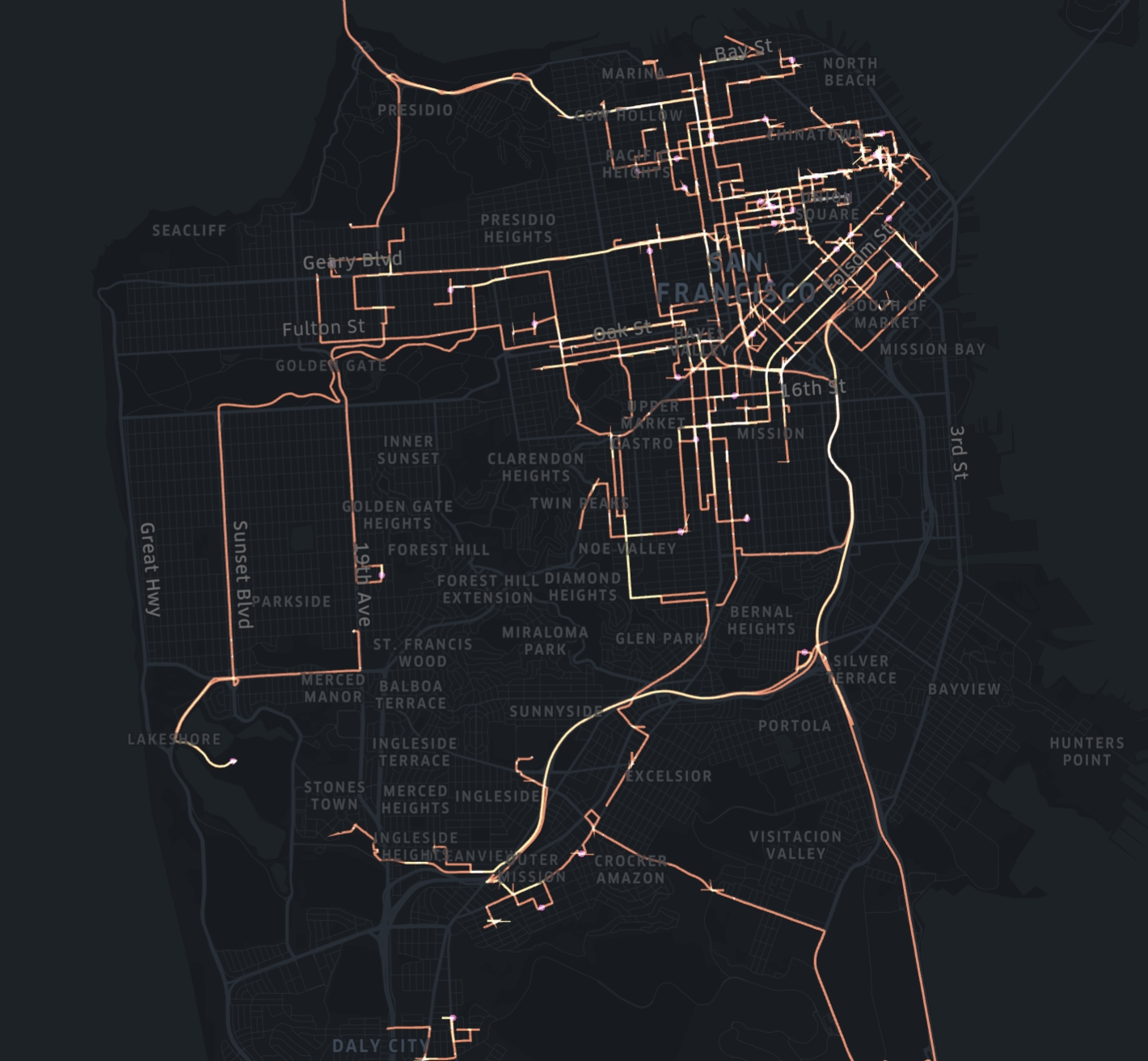
A path GeoJSON layer can display data like trip routes or contours. Stroke color can be set with a numerical field.
To add a polygon layer, your dataset must contain geometry data.
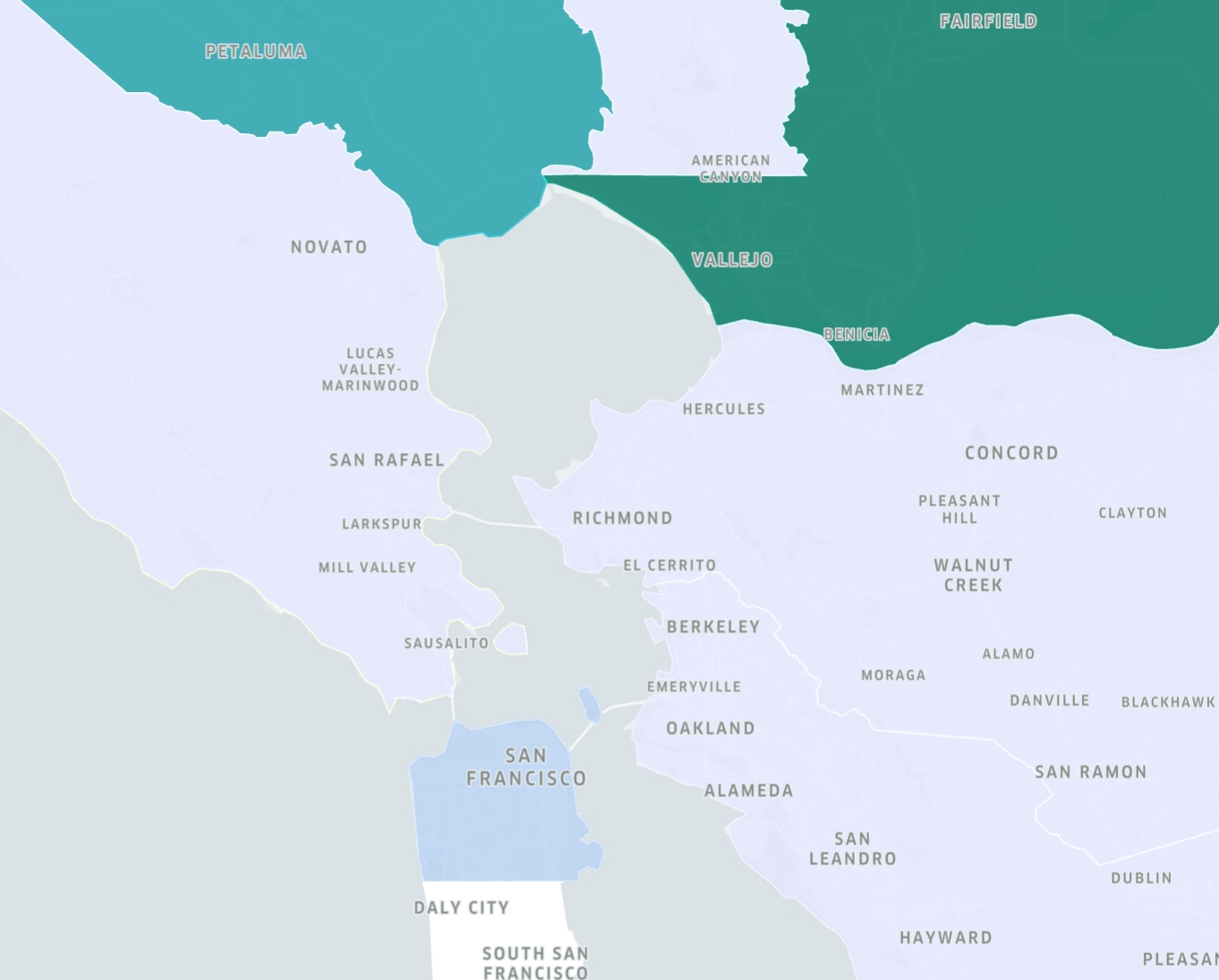
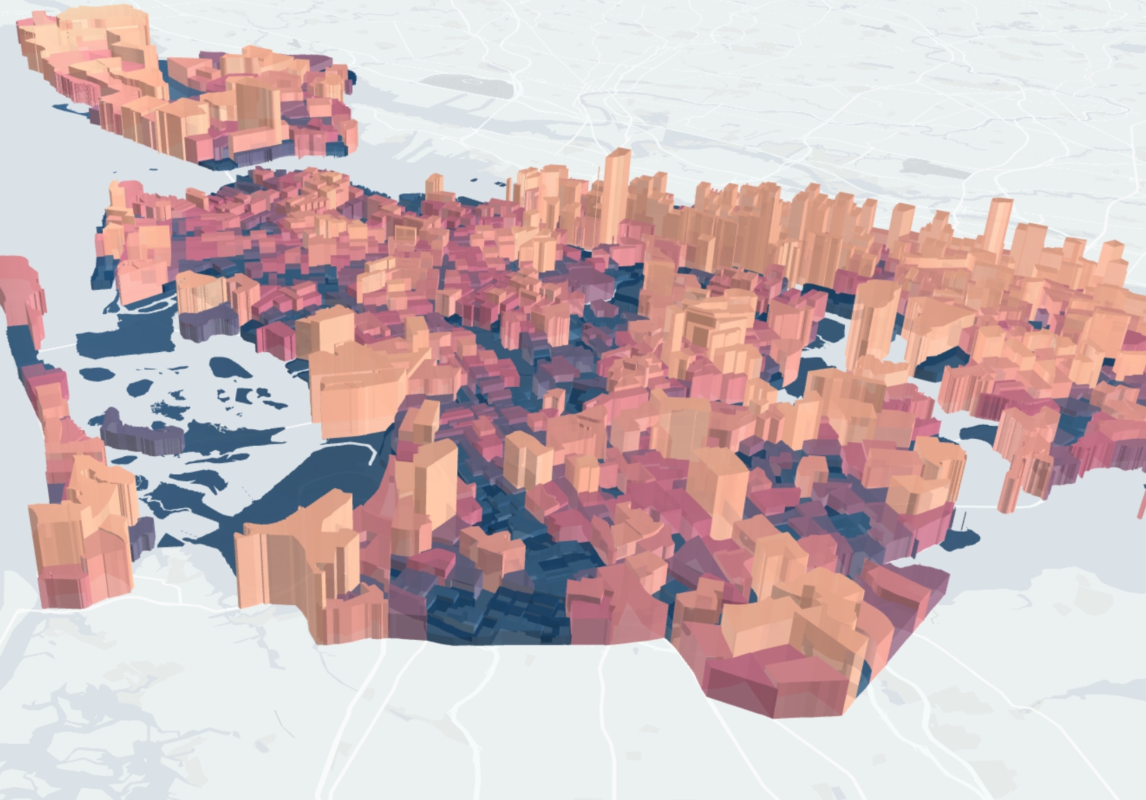
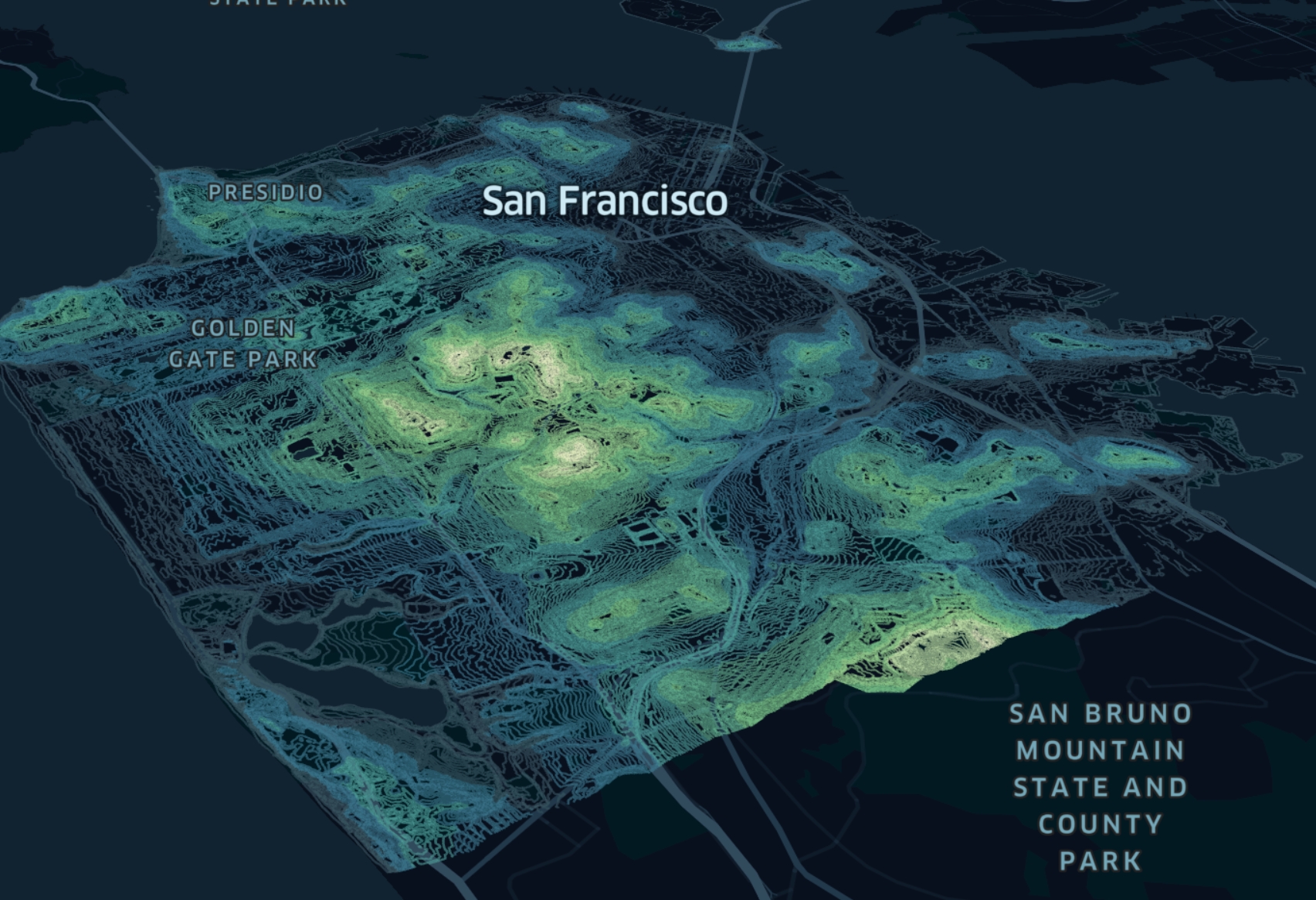
A polygon GeoJSON layer is essentially a layer and works best for rendering geofences. Fill color or height can be set with a numerical field. For example, it can display population by census tracts.